
There's not a street address you can reliably plug into a GPS or cell phone, but if you click the link below (or enter these coordinates into a Google search), you'll see the exact location of the house on Google Maps:
If you are asking directions, ask first for Coral Bay, once you're at Coral Harbor, Take the right on Route 107 and drive for a couple of miles. Pass Crabby's, Calabash Market, and the large yellow and blue housing development. Our road is a right turn just over the next hill. Instructions will be something like this:
Pass Crabby's, later Calabash Market, and the large yellow and blue housing development on the right. Our road is a right turn just over the next hill.
When you get to St. John on the car ferry, follow traffic as you leave the dock.
At the round-a-bout, take Rt 10 (Centerline Road) for about 12 km (8 miles) to Coral Bay. You go up over the ridge of the island.
Once down on the other side, getting to Coral Bay harbor, turn right on Rt 107.
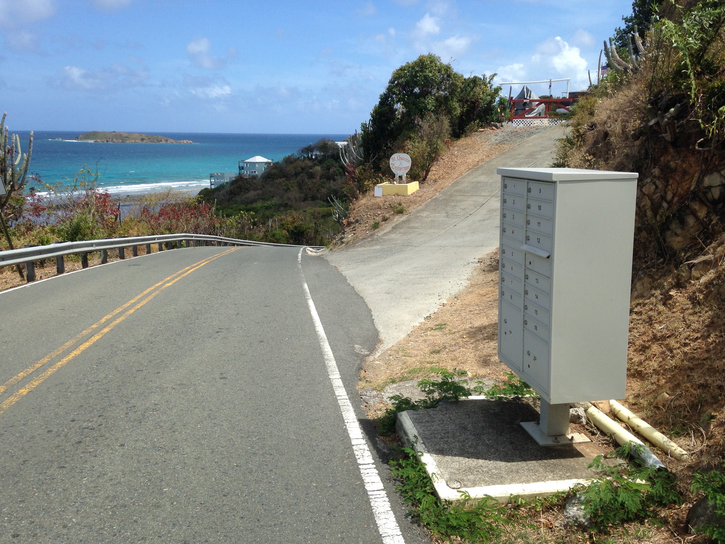
Drive about 3.5km (2+ miles) until you see the St Quaco & Zimmerman Street turnoff on the picture below ...
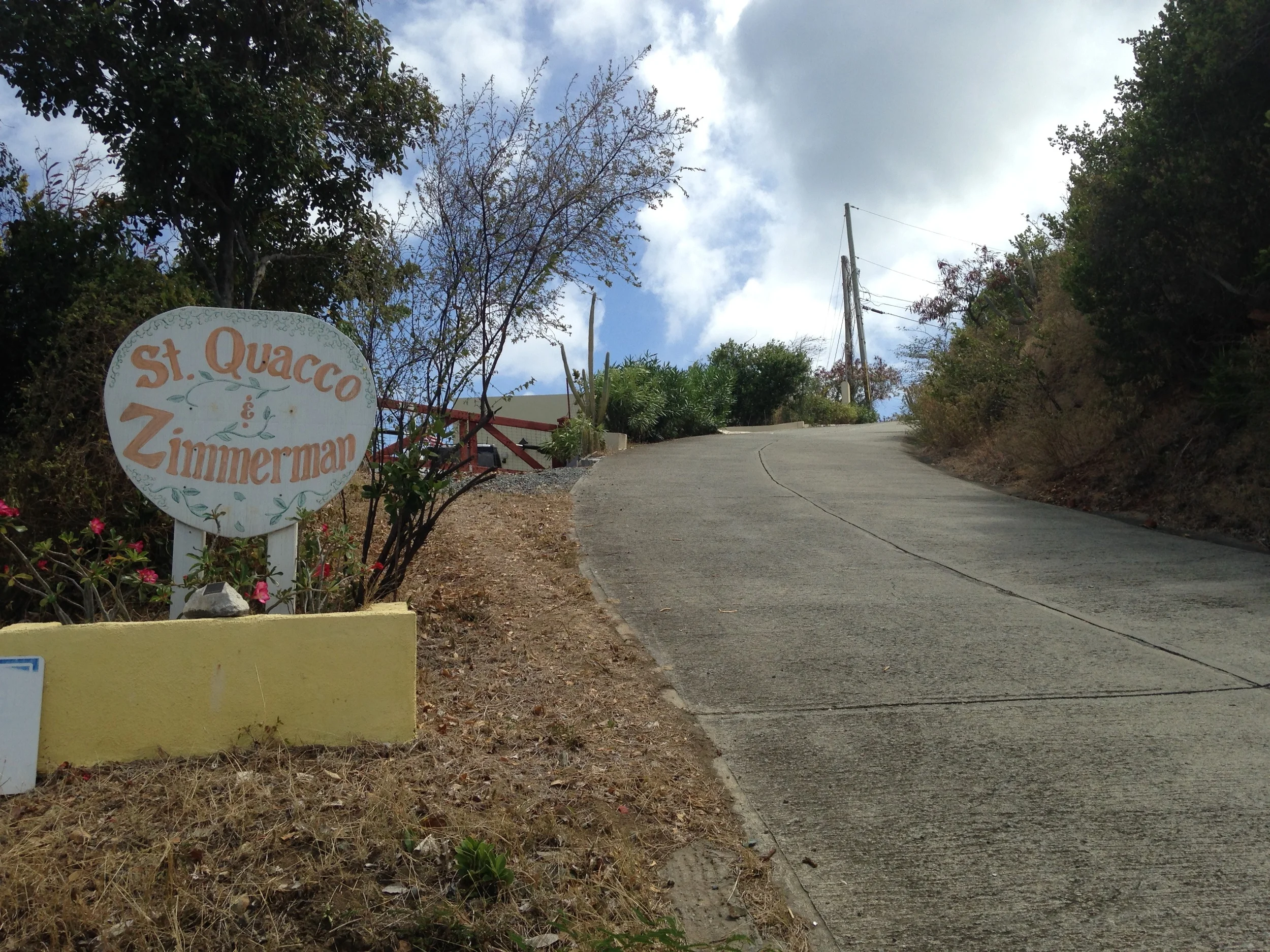
This is what the street sign looks like. Google Maps calls it S Quacco South Street. Go about 150 yards (bear right at the fork) and the house is on the left ...
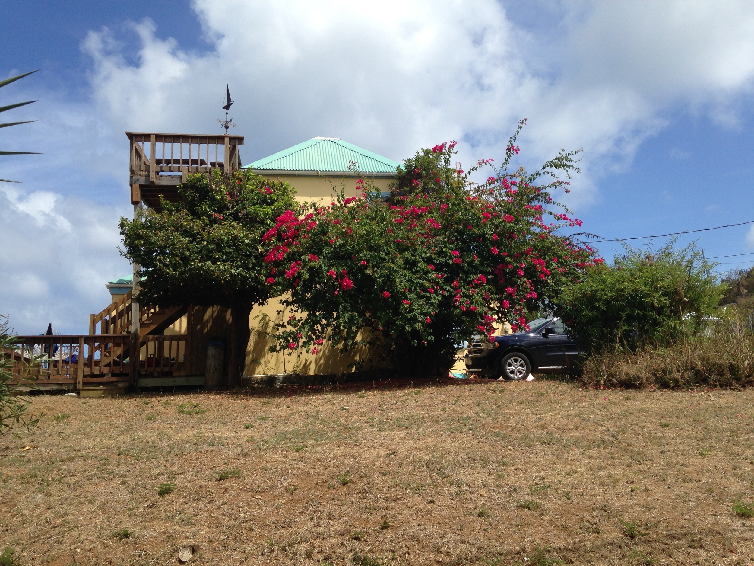
This is the house seen from the street side ...

Drive up to the house and park ...
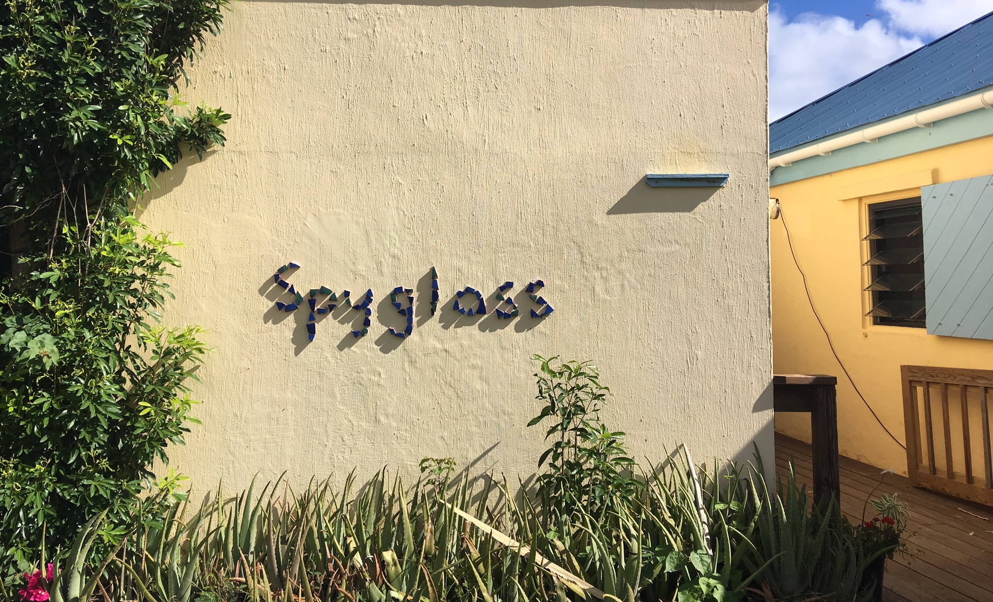
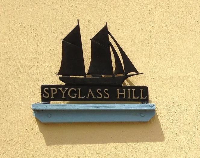
You know you've arrived when you see this ...